GIS Consulting
One-on-one training & collaboration
-
Data Organization
Data collection & aggregation strategies
-
Creative solutions & analysis
-
Maps!
-
One-on-one training & collaboration - Data Organization Data collection & aggregation strategies - Creative solutions & analysis - Maps! -
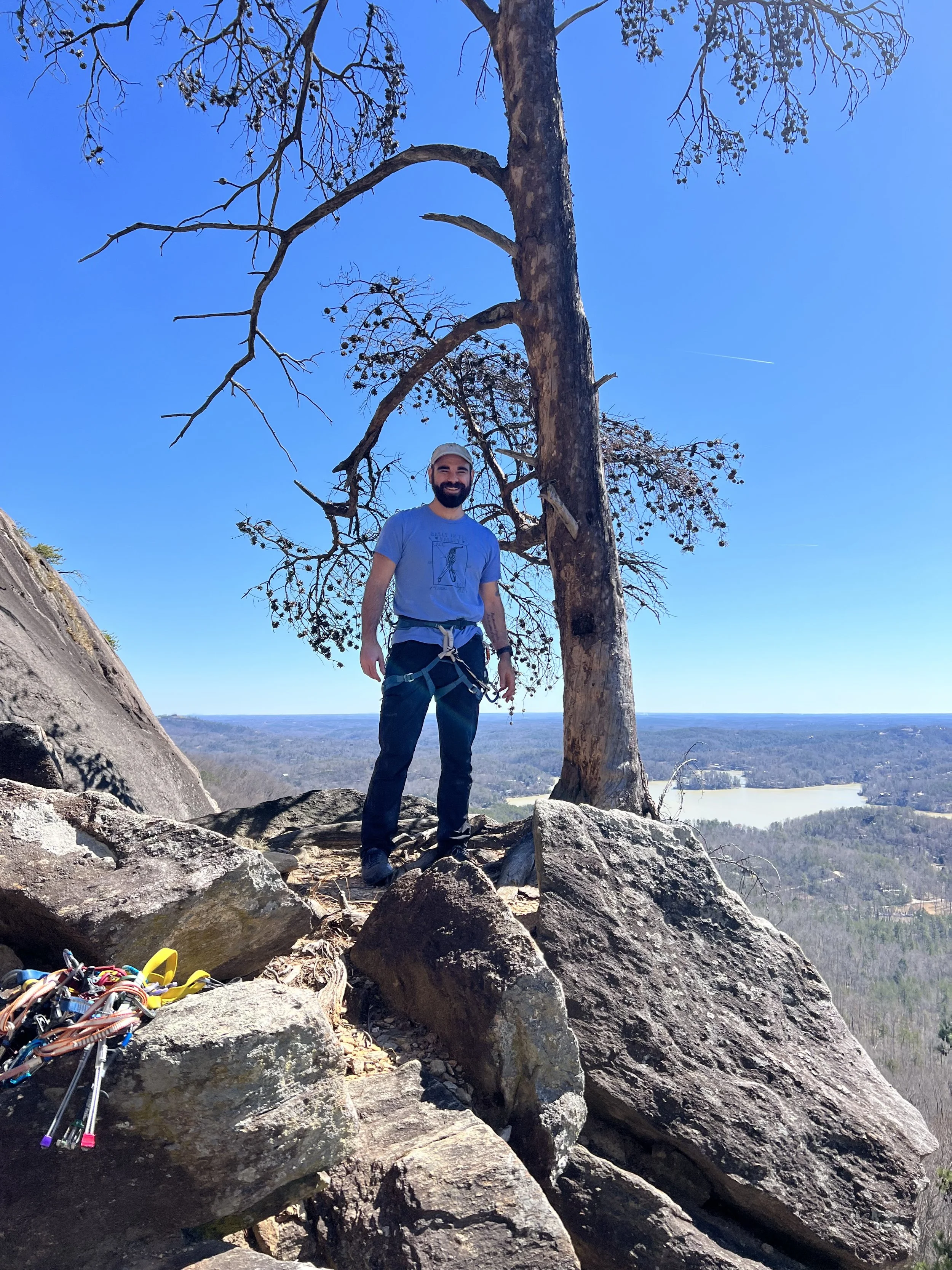
What do I know?
I’m just a nerd with an ESRI subscription
I am a full-time GIS Professional, with over 7 years of working GIS experience. While I do specialize in creative solutions and analysis, which allows me to adapt to a wide range of project needs, here are some projects I’ve worked on over the years to give you an idea of my experience:
On-the-ground boundary mapping for large-scale tree planting projects.
Monitoring plot establishment and data analysis.
Geographic data visualization for physiological adaptations across multiple genomes.
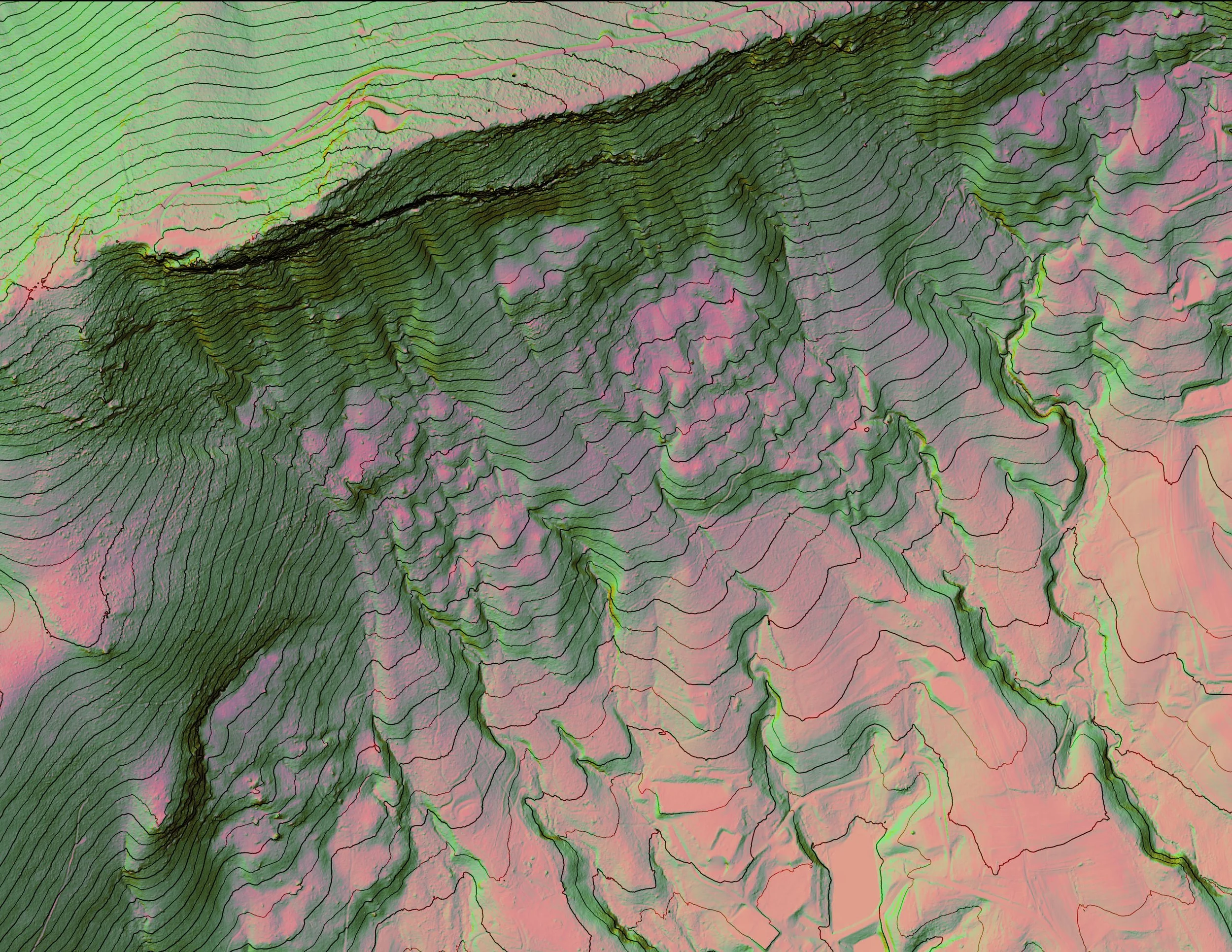
DEM & Canopy Height analysis for on-the-ground vegetation data collection.
Custom severity mapping for non-native invasive species.
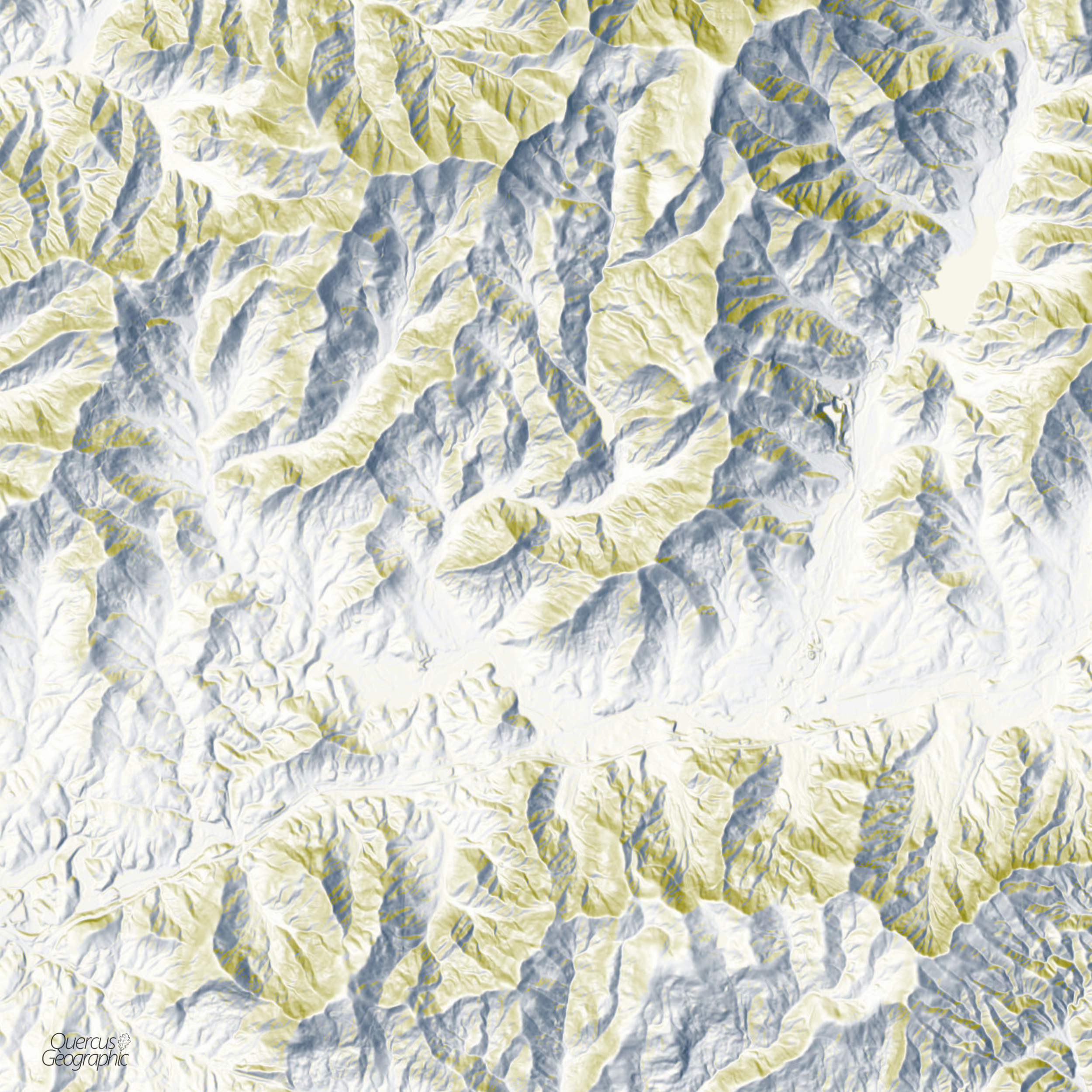
Multi-factored analysis of both elevation and slope steepness to assess operability of timber harvest.
Complex data querying of spatial and tabular data to find systemic database errors.
Identify unique wildlife habitat across thousands of acres based on a detailed analysis numerous geographic, ecological, and temporal datasets.
Interested in working with QG?
Please submit a Contact form to discuss rates and project details, or to ask general questions.
You can also email me directly at quercusgeographic@gmail.com